
Tuesday, January 10, 2012
Active pattern looks to shape up
Couple of more mild days ahead of us. Temperatures today and Wednesday in the mid 50's. Enjoy it because an arctic cold will crash the party comes late Thursday and behind it will bring a burst of snow. Im expecting some problems to our evening commute Thursday. Temperatures during that time is expected to be near the freezing mark after a morning high in the near 50. Winds will really pick up gusting up to 40mph. Snow acumuations is expected to reach up to 1". Few flurries around with lingering clouds Friday. Highs in the 20's. We will stay there Saturday am and we are planning on tracking our next clipper system which most models is showing. Euro is one of them for late Satuday. If it tracks to our south about 75- 100mph then the heaviest snowfall will be here. If over top then heaviest snow will further north. I've been forecasting the weather here 8 yrs I have never seen a favorable track for heaviest snow with a clipper system. So we see. After the weekend a quick mild up the start of the new week another storm could develop by Tuesday of next week bringing us rain and as we turn colder changing rain to snow. All models are showing this.

Monday, January 9, 2012
Snow opportunities later this week as winter makes a return
Good morning. Highs for next couple days will be in the 50's. Rain will move in Tuesday overnight into Wednesday with a low from our southwest. Our next arctic front will invade the Ohio Valley as colder moves Thursday. Snow showers will be likely Thursday. Snow accumulations are likely as well. Snow showers & flurries continues Friday am. All of this will be on the based of an upper low in the Ohio Valley and lower Lakes. Friday will be the coldest of the season. Highs will stay in the 20's. A clipper system over the weekend may bring more snow showers to the area. Weather is starting to change. Our snow is coming soon. Hang in there snow lovers. Here is nogaps indicating for Thursday evening, Friday am, and Saturday snow.


Friday, January 6, 2012
Southern storm could phased with northern storm( Arctic front) Thursday next week
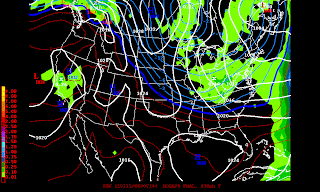
This is how this storm could phased. If the southern storm slowed down which allows the northern storm(Arctic front) to merged togther. This is certainly is possible. Models have a difficult time this winter with these cutoff lows in the SW. Nogaps model Thursday am is showing what I'm talking about. Note this is not my forecast as quite bit of options are on the table. It's 5-6 days out. In order of this storm to become a snowstorm we need #1 cold air and #2 low pressure to track west of the Applachians mountains or near.


Be patient snow lovers; Indication of a change later January
Today highs will be 65 or so. I didn't believe we see 60's but if we were in a colder pattern we wouldn't see it. Winds will be 10-20mph. Cooler Saturday highs in the low 50's more clouds and 40's. for Sunday and Monday Tuesday and Wednesday highs warming into the 50's. Best chances of rain moves by Wednesday. Cold late next week. Uncertain as far weather condition. We will continue to look study this over the weekend and next week.


Tuesday, January 3, 2012
Where do we go from?
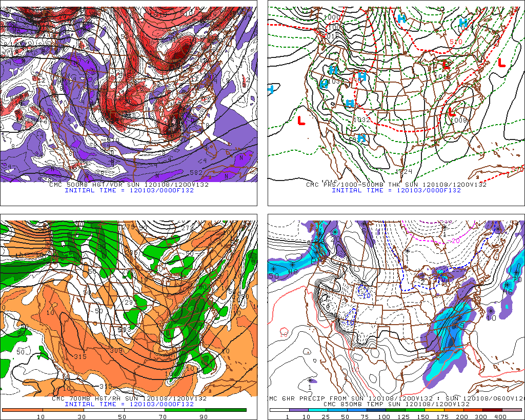
Good morning. Today will be the coldest in the next 7 days. Highs will stay in the 20's. Upper 20's to near 30. Further west will be in the low 30's. Tonight temperatures will rising into the 30's by morning and continue to rise into the 40's. Winds will increase Wednesday out of ahead of clipper system which will stay east of us. Thursday will be breezy High 50 and Friday windy as temperatures surge I believe to 60. Saturday an approaching cold front may bring rain pm Saturday. This is the part of the forecast is tricky and Canadian overnight Saturday thru Sunday am is changing rain to light snow. This is not a forecast but what it suggest. We will see if this is actually is going to happen. Euro is faster and warmer but has a storm. GFS suppresses as usual.

Monday, January 2, 2012
Snowfall amounts Monday
A coating or so of snow 1-65 down as far as south as Tennessee and could be further little west into Western KY. Further north and east 1-3 snowfall range into I-75. Temperatures will fall in the mid 20s this evening. Windchill in the low teens. Winds gusty up to 35mph. If we clear out later tonight temperatures could drop in the low teens otherwise upper teens. Tuesday highs in the mid 20's then warming up the late week back in the 50's.
Sunday, January 1, 2012
How far west will see snow showers Monday?
Happy 2012. Lots of strong winds as expected today. Tonight will be warmer than forecast. Lows low to mid 30's. Colder suge will be hold back Monday If we get caught underneath these snow showers expect to see a coating of the white powery snow. Air will be plenty cold Arctic air. Temperatures looks to ocurr early in the day Monday. Winds will be strong yet again. Snow will developing from near lunchtime thru the afternoon hours time frame across the region. Further east will see to seeing 1-3" of snow along 1-75 in Ohio down to Knoxville,TN. 1-65 down to Nashville has a chance to see coating of snow but further west of the state to near Paducah is not out of the woods. Stay tuned tomorrow morning for the latest update.
Subscribe to:
Posts (Atom)