Facts why November should be cold, snowier, and wetter than nornal.
1) 1954 was a weak La'Nina year early fall saw 100+ degree weather in September just like this year. November saw record cold high low 32 in early November.
September 1950 was a weak La'Nina. It was cool/wet just like this year. The following November saw a we above normal snow, above normal rain, and way below nornal cold.
1975 and 1950 was one of top ten wettest years on record. 2011 will be in the top 10. Could be number 1. Both had snowfall in November.
Most weak La'Nina are cold looking at most of the weak LaNina November's. 1950,1954, 1995, 2000.
Only 1974 is the only one.
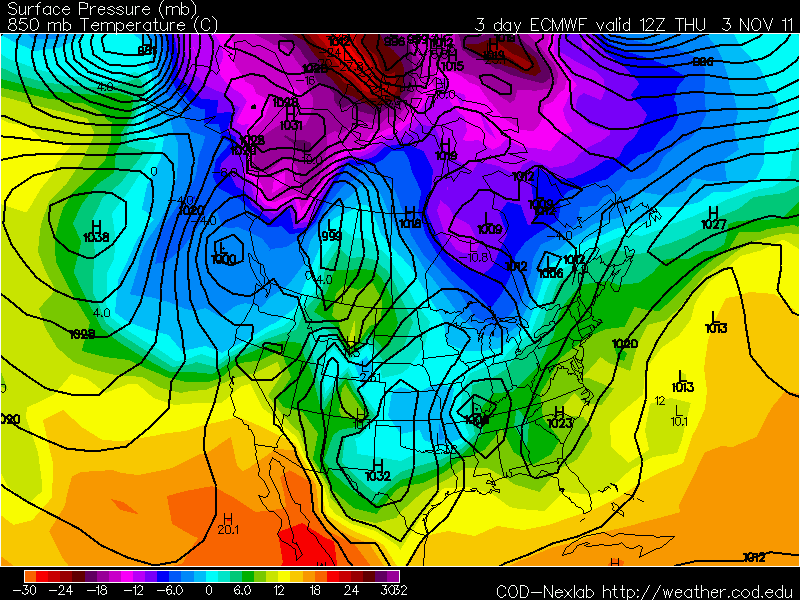
We are right now at a -0.7. So I'm expecting a weak La'Nina November.
So I'm expecting a cold, snowier, and wetter than normal November. My winter forecast will be out sometime in November.